























































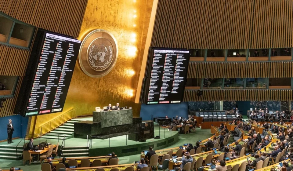

In a historic move that challenges centuries of geographic tradition, the United Nations General Assembly has officially called for a shift in how the world is visually represented. On September 4, 2026, the international body voted overwhelmingly—164 to 1—to adopt a resolution promoting the use of map projections that more accurately depict the relative surface area of the world’s continents.
While the resolution is nonbinding, it marks a significant diplomatic milestone in the ongoing conversation regarding how colonial-era cartography continues to shape modern perceptions of power, geography, and geopolitical significance. The United States stood as the lone dissenting vote, sparking debate about the intersection of legacy infrastructure and the global push for representational equity.
The Chronology of a Cartographic Shift
The path to this UN resolution was not an overnight development, but rather the culmination of years of advocacy by the African Union (AU) and a growing movement within the international academic community.
- 2017: Following the Boston Public School district’s controversial decision to transition to the Gall-Peters projection, a global dialogue emerged regarding the "shrinking" effect of the dominant Mercator map.
- 2018: Three cartographers published the "Equal Earth" projection. Unlike previous attempts at equal-area mapping, which often sacrificed the recognizable shapes of continents, Equal Earth sought a "Goldilocks" balance: maintaining accurate area ratios while preserving aesthetic familiarity.
- 2018–2025: NASA’s Goddard Institute for Space Studies and the National Geographic Society began integrating the Equal Earth projection into their data visualization and educational portfolios, proving the model’s viability for scientific and general use.
- February 2026: The African Union formally adopted a mandate to promote more accurate representations of the continent within its member states’ educational systems, citing the need to combat historical biases in map projections.
- March 2026: African Union Commission Commissioner Amma Twum-Amoah delivered a landmark speech, arguing that the persistent use of the Mercator projection actively obscures the true scale of Africa’s economic, cultural, and geopolitical weight.
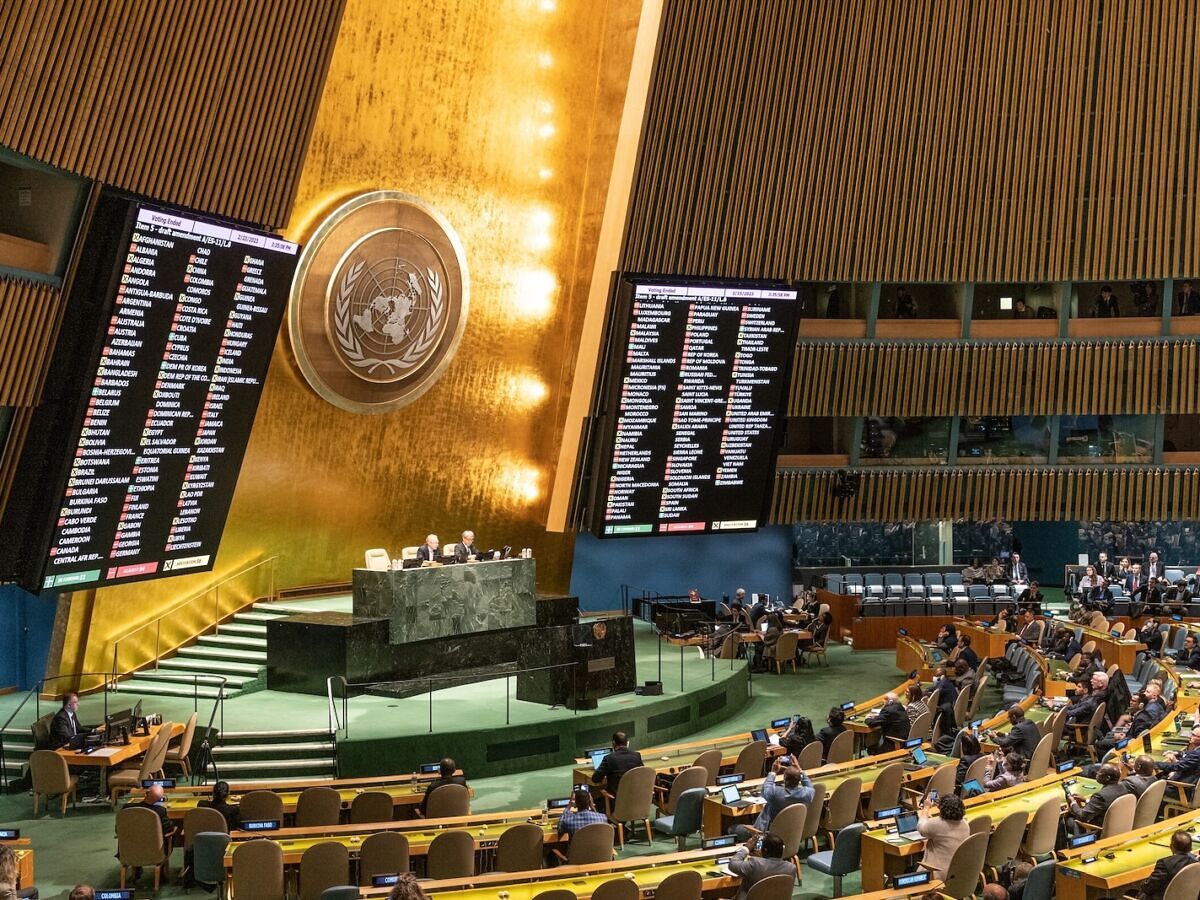
- September 4, 2026: The UN General Assembly voted 164–1 to adopt the resolution spearheaded by Togo on behalf of the African Group, officially encouraging international entities to prioritize equal-area cartographic methods.
Understanding the Mercator Legacy
To understand why this resolution carries such political weight, one must examine the origins of the Mercator projection. Developed by Flemish cartographer Gerardus Mercator in 1569, the map was never intended to be a political instrument or an accurate depiction of planetary landmasses.
It was a tool for navigation. In the 16th century, the "Mercator projection" allowed sailors to plot a straight line on a flat map and follow it with a constant compass bearing—a revolutionary innovation for maritime travel. However, the mathematics required to project a sphere onto a flat cylinder necessitated extreme distortion.
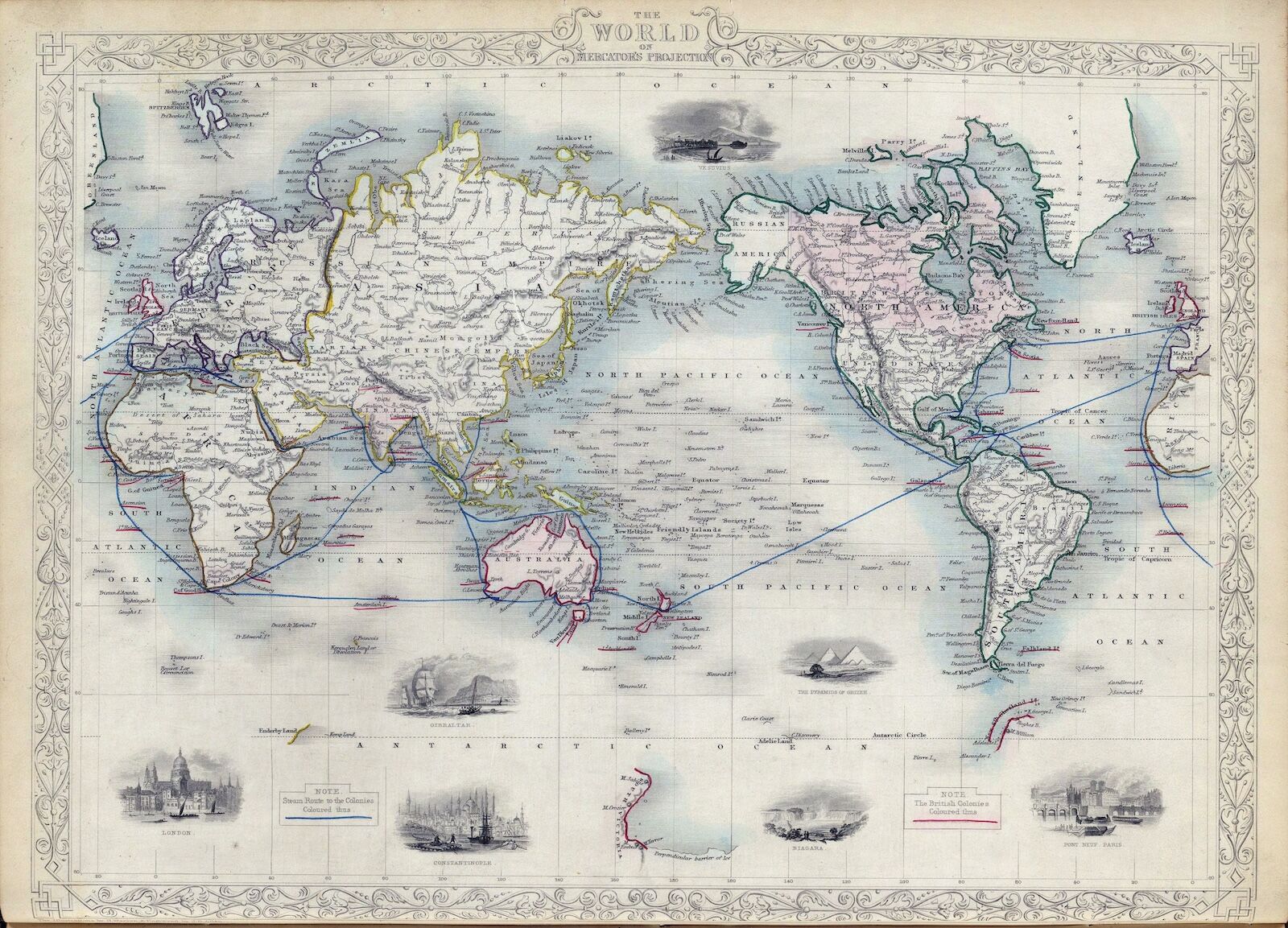
As a landmass moves further from the equator, the Mercator projection stretches its scale. Consequently, landmasses near the poles, such as Greenland, Canada, and Russia, appear massively inflated. Conversely, regions near the equator—most notably the continent of Africa—are compressed. When a viewer looks at a traditional Mercator map, Greenland appears roughly the same size as Africa; in reality, Africa is approximately 14 times larger than Greenland.
In the age of GPS and satellite navigation, the original nautical utility of the Mercator map has largely vanished. Yet, its presence in classrooms, newsrooms, and government offices remains ubiquitous, creating a visual "default" that persists in the collective subconscious.
The Equal Earth Solution
The "Equal Earth" projection, which the UN resolution specifically identifies as an appropriate alternative, is an equal-area pseudocylindrical projection. Its creators designed it with three specific goals: to provide a mathematically accurate representation of surface area, to maintain the recognizable silhouettes of continents, and to ensure it did not look "too strange" to those accustomed to the Mercator view.
The projection succeeds by curving the meridians, which allows for the preservation of area while keeping shapes from becoming overly elongated. It is this balance that has garnered support from both the scientific community and the UN. The resolution does not seek to ban the Mercator projection—acknowledging that different maps serve different technical purposes—but rather to challenge the "de facto" status of the Mercator in political and educational contexts where accurate land-size representation is essential for contextualizing global issues.
Official Responses and Diplomatic Friction
The overwhelming support for the resolution—164 countries in favor—reflects the growing influence of the African Group within the UN. By championing the motion, the African Union successfully framed the issue not merely as a matter of cartography, but as a matter of "reparatory justice."
"The Mercator map is a relic that continues to shrink the perceived significance of our continent," Commissioner Amma Twum-Amoah stated during the lead-up to the vote. "When we teach children that the world is smaller than it is, we limit their understanding of the resources, the people, and the future of the African continent."
The United States’ lone "no" vote has generated significant scrutiny. While the U.S. delegation has not issued a detailed public justification, observers suggest the dissent likely stems from a preference for maintaining long-standing technical standards and a general reluctance to move toward nonbinding resolutions that could influence domestic educational standards. Critics of the U.S. position argue that the vote reflects a broader trend of resistance to re-evaluating historical norms that have historically favored Western-centric viewpoints.
Broader Implications: Beyond the Map
The implications of this UN resolution are likely to be felt in several key arenas:
1. Educational Reform
The most immediate impact will be in global classrooms. As international organizations begin to update their atlases and digital teaching tools, the next generation of students may grow up with a fundamentally different understanding of spatial relationships. This could lead to a more nuanced perception of Africa’s massive geographical footprint, potentially altering how students perceive global development, resource distribution, and climate change impacts.
2. Geopolitical and Economic Framing
Economic data, trade routes, and climate impact models are often mapped onto projections. When Africa is represented at its true scale, the visual data associated with it—such as the vastness of its forests, the reach of its infrastructure, and the scale of its agricultural zones—becomes more intuitively grasped. This shift could help to reframe the continent not as a "peripheral" region, but as a central player in the global economy.
3. The Digital Cartographic Shift
As the world moves toward more advanced, interactive digital maps, the resolution provides a mandate for tech giants and GIS (Geographic Information System) developers to offer "equal-area" as a default setting rather than an obscure option. The move by NASA and National Geographic to adopt these methods is expected to serve as a catalyst for other digital platforms, such as Google Maps or open-source mapping projects, to provide users with more geographically balanced tools.
Conclusion: A New View of the World
The UN’s resolution is not a mandate to burn old maps; it is a request to acknowledge that our visual tools have inherent biases. By shifting toward projections like Equal Earth, the international community is signaling a desire to move away from a map designed for 16th-century sailing and toward one that reflects the realities of the 21st century.
Whether or not this leads to a universal adoption of the new projection remains to be seen. However, by bringing the issue to the floor of the General Assembly, the African Union has succeeded in forcing the world to look at itself—literally—from a new perspective. In doing so, they have reminded us that maps are not just neutral reflections of the earth; they are choices about what we emphasize, what we minimize, and how we understand our place on the globe.